✓ In den Warenkorb gelegt!
Discover the USA in Geography: Maps, Diagrams & More
Wir melden uns in der Regel innerhalb eines Werktags bei dir.
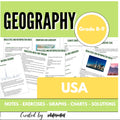
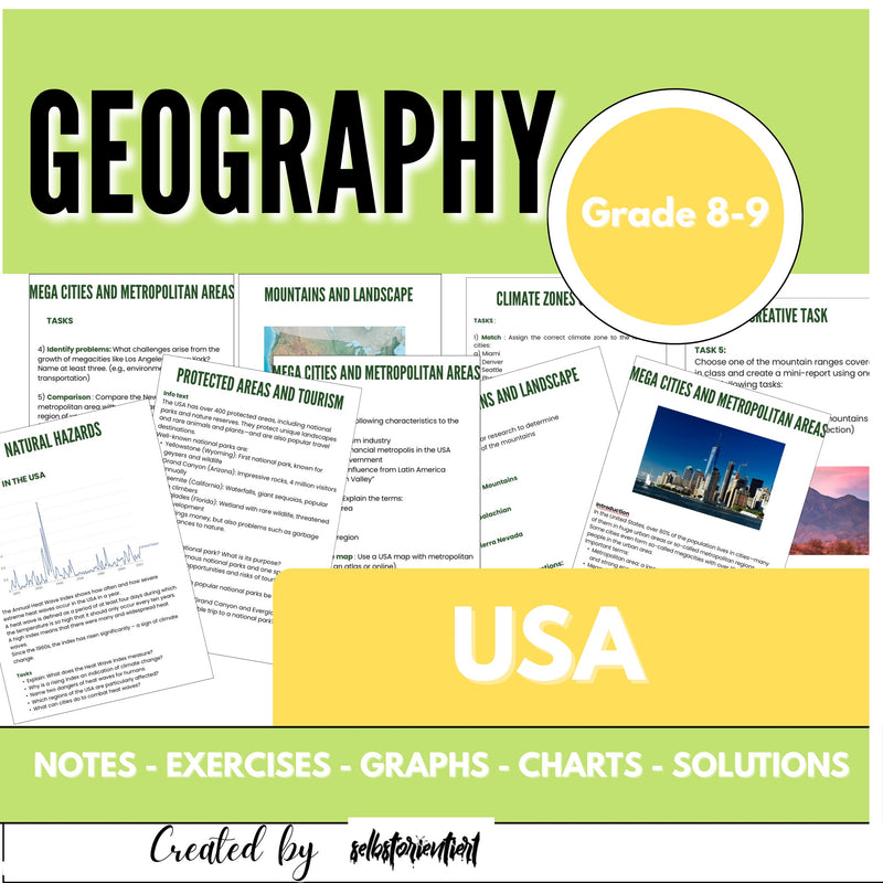
Discover the USA in Geography: Maps, Diagrams & More
Explore the geographical diversity of the USA with this comprehensive resource for German schools! Students examine climate zones, major landscapes, megacities, migration patterns, and natural hazards. Using interactive tasks, maps, and diagrams, they investigate how geography shapes life in America—from the Rocky Mountains to New York City. Perfect for bilingual teaching, CLIL, and English-medium geography classes, this material builds analytical skills, encourages comparative studies, and fosters critical thinking.
Suitable for projects, presentations, and exam preparation, it provides an engaging, in-depth look at one of the world’s most influential countries. Inspire your students with an immersive USA geography journey!

€19,99 – Jetzt kaufen
PDF · Sofort-Download
FAQ zu diesem Material
Weitere Materialien für Erdkunde



Bewertung: Discover the USA in Geography: Maps, Diagrams & More
Discover the USA in Geography: Maps, Diagrams & More ist eine vollständig ausgearbeitete Unterrichtsreihe für Erdkunde in Klasse 5–9. Stärke des Materials ist die direkte Einsatzbereitschaft: Arbeitsblätter, Lösungen und Erwartungshorizont liegen fertig vor, sodass eine Stunde ohne zusätzliche Vorbereitung starten kann.
Passend für Lehrkräfte, die ein Thema kurzfristig abdecken, für Referendarinnen und Referendare mit hohem Planungsdruck und für Vertretungsstunden – und überall dort, wo eine Stunde kurzfristig stehen muss.